Turkey
2021 Global Space Economy Grows at Fastest Rate in 7 Years

The global space economy continued to expand in 2021 to reach $469 billion. This record high also had the largest growth rate since 2014, growing 9% from a revised 2020 total of $431 billion.
2019 TSRQ4 – Space Policy


In 2018, significant policy developments helped shape the future space economy. At the international level, the United Nations Committee on the Peaceful Uses of Outer Space (COPUOS) released its . . .
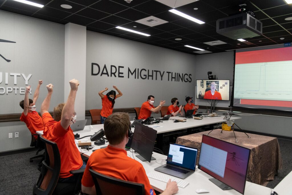
2019 TSRQ3 – Education STEM Proficiency

The science, technology, engineering, and mathematics (STEM) workforce is at the core of the space industry—from the mathematicians and astronomers who analyze space to the engineers who design and build the launch vehicles that get us there. This workforce is enabled . . .
2013 – Military Reconnaissance
Military-specific observation satellites can be used for reconnaissance or other intelligence-gathering purposes. The capabilities of remote sensing satellites can sometimes obscure whether or not they are being used for civilian or military applications.
2011- Land Imaging – Snapshot
Two major players in satellite-based Earth imagery are U.S. companies DigitalGlobe and GeoEye. Both companies provide imagery to widely used applications such as Google Earth. In August 2010, the U.S. National Geospatial-Intelligence Agency (NGA) awarded 10-year contracts to the companies, valued at $## billion for GeoEye and $## billion for DigitalGlobe, under the agency’s EnhancedView procurement. The NGA specializes in mapping and imagery intelligence, and played a key role in the raid on Osama bin Laden’s compound in May 2011 by providing satellite imagery, geospatial and targeting analysis, and modeling support to plan the successful mission.